South Texas is a dynamic region where infrastructure meets geopolitics. Stretching from El Paso to Brownsville, the Texas-Mexico border is home to some of the most complex and high-stakes construction projects in the United States. As federal and state agencies invest billions into border infrastructure including roads, bridges, ports of entry, waterborne barriers, and security systems contractors face unique challenges in estimating these multifaceted builds.
Estimating for border infrastructure isn’t just about materials and labor. It requires a deep understanding of terrain, environmental regulations, multi-agency coordination, and evolving security specifications. Whether you’re bidding on a customs inspection facility or a flood-resistant access road, precision in estimating is essential to winning contracts and delivering projects that meet both technical and political expectations.
Why Border Infrastructure Is Unique
Border infrastructure projects differ from typical civil construction in several key ways:
- Remote Locations: Many sites are in isolated areas with limited access to utilities, requiring generators, water tanks, and satellite communications.
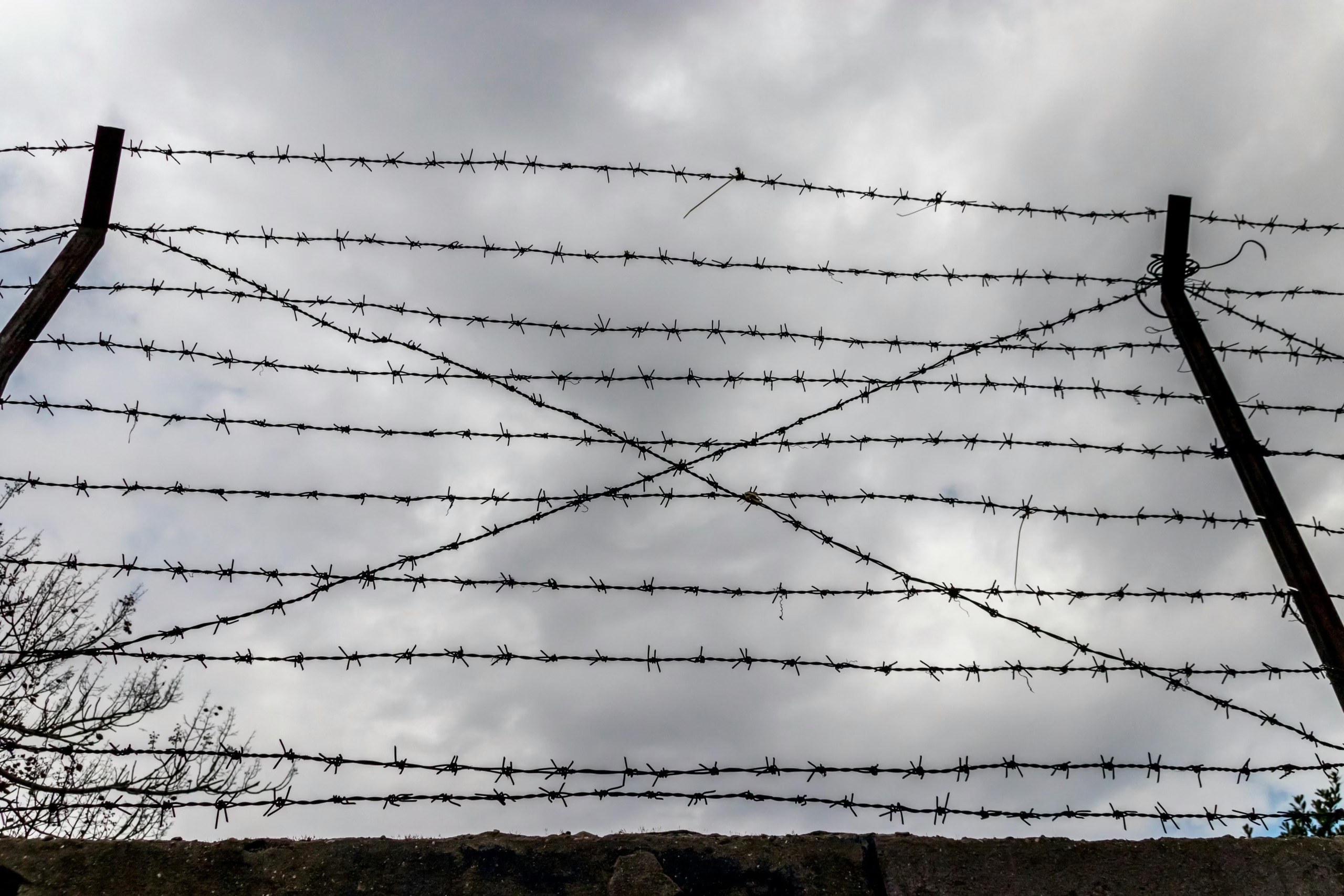
- Security Requirements: Projects often include surveillance systems, anti-climb barriers, and reinforced fencing all with strict federal specifications.
- Environmental Sensitivity: The Rio Grande Valley is home to protected wetlands, endangered species, and flood-prone zones, requiring extensive mitigation.
- Multi-Agency Oversight: Contractors must coordinate with DHS, CBP, TxDOT, Army Corps of Engineers, and local municipalities.
- Political Volatility: Scope changes and funding shifts can occur with little notice, requiring flexible estimating models and contingency planning.
Key Components of Border Infrastructure Estimating
| Scope Component | Estimating Considerations |
| Earthwork & Grading | Terrain modeling, cut/fill volumes, erosion control, and floodplain mitigation. |
| Roads & Access Routes | Paving, signage, guardrails, and connectivity to existing highways. |
| Security Barriers | Steel bollards, waterborne barriers, concrete walls, and anti-climb features. |
| Drainage Systems | Stormwater detention, culverts, slope stabilization, and flood control. |
| Utility Coordination | Power, fiber optics, lighting, and water access for remote sites. |
| Inspection Facilities | Customs buildings, weigh stations, vehicle screening infrastructure, and HVAC. |
| Environmental Compliance | Wetland protection, endangered species mitigation, and archaeological surveys. |
| Technology Integration | Surveillance cameras, motion sensors, access control, and data transmission systems. |
Sources: Texas-Mexico Border Transportation Master Plan, Border Report
Recent Projects and Funding Highlights
| Project Name | Location | Scope Summary | Estimated Cost |
| Waterborne Barrier (Rio Grande) | Cameron County | 17 miles of floating barrier south of Brownsville | $96.1 million |
| Border Trade Corridor Expansion | Pharr District | Highway upgrades and freight mobility improvements | $3.6 billion |
| Port of Entry Modernization | Laredo & McAllen | Inspection tech, customs buildings, and access roads | $500+ million |
| Border Wall Reinforcement | Starr & Hidalgo Co. | Steel bollards, lighting, and surveillance systems | $1.2 billion |
| El Paso Freight Infrastructure | El Paso County | Rail and highway upgrades for cross-border commerce | $750 million |
These projects reflect the scale, diversity, and complexity of estimating in South Texas.
Estimating Challenges in Border Infrastructure
- Terrain Variability: From floodplains to rocky hillsides, soil conditions affect excavation, drainage, and foundation costs.
- Security Specifications: Bollard spacing, anti-climb coatings, and surveillance systems require specialized pricing and vendor coordination.
- Weather Risks: South Texas is prone to flash floods, hurricanes, and extreme heat all of which impact scheduling and contingency planning.
- Permitting & Compliance: Projects often require NEPA reviews, SWPPP documentation, and coordination with environmental agencies.
- Labor Logistics: Remote sites may require travel allowances, crew housing, and extended work hours to meet deadlines.
Best Practices for Estimating Border Projects
| Practice | Why It Matters |
| Use Terrain Modeling Tools | Improves accuracy for grading, drainage, and access planning. |
| Coordinate with Agencies Early | Aligns scope with permitting and inspection requirements. |
| Include Contingency for Scope Changes | Covers political and regulatory shifts. |
| Model Security System Costs Separately | Avoids underpricing surveillance and barrier tech. |
| Document Assumptions Clearly | Improves transparency and speeds up federal review. |
| Benchmark Against Similar Projects | Helps calibrate pricing and productivity expectations. |
| Account for Remote Site Logistics | Includes crew travel, equipment mobilization, and utility access. |
| Plan for Environmental Mitigation | Avoids delays due to protected habitats and flood zones. |
Tools That Support Border Infrastructure Estimating
| Tool | Functionality |
| AGTEK Earthwork 4D | Terrain modeling and cut/fill analysis |
| RSMeans + CostWorks | Regional pricing and productivity rates |
| PlanSwift + Bluebeam | Digital takeoffs and markup collaboration |
| Primavera P6 | Schedule modeling with weather and agency buffers |
| Autodesk Civil 3D | Utility and drainage modeling |
| Excel + Custom Templates | Flexible pricing and alternate modeling |
These tools help estimators deliver bids that are accurate, scalable, and responsive to federal standards.
ROI of Professional Estimating Services
| Benefit | Financial Impact |
| Fewer Change Orders | Saves $100K–$500K per project on average |
| Improved Bid Accuracy | Increases win rate and reduces margin erosion |
| Faster Approvals | CSI formatting and clear assumptions speed up agency review |
| Better Resource Planning | Aligns labor and materials with remote site logistics |
| Reduced Legal Risk | Accurate scope and compliance reduce liability and disputes |
| Enhanced Client Confidence | Shows foresight and professionalism in risk management |
Estimating services aren’t just a cost they’re a strategic advantage in border infrastructure.
Final Thoughts
Border infrastructure in South Texas is a convergence of engineering, policy, and public safety. Contractors who understand the terrain, regulations, and security requirements will be best positioned to win work and deliver value. Whether you’re building a customs facility, reinforcing a levee, or installing waterborne barriers, professional estimating services provide the precision, flexibility, and insight needed to thrive in this evolving market.
At MSB Estimating, we specialize in border infrastructure estimating for Texas contractors. Our team delivers fast, accurate, and federally compliant estimates that help you bid smarter and build with confidence.
Ready to Estimate Your Next Border Project?
Contact MSB Estimating today to learn how we support infrastructure scopes across South Texas.